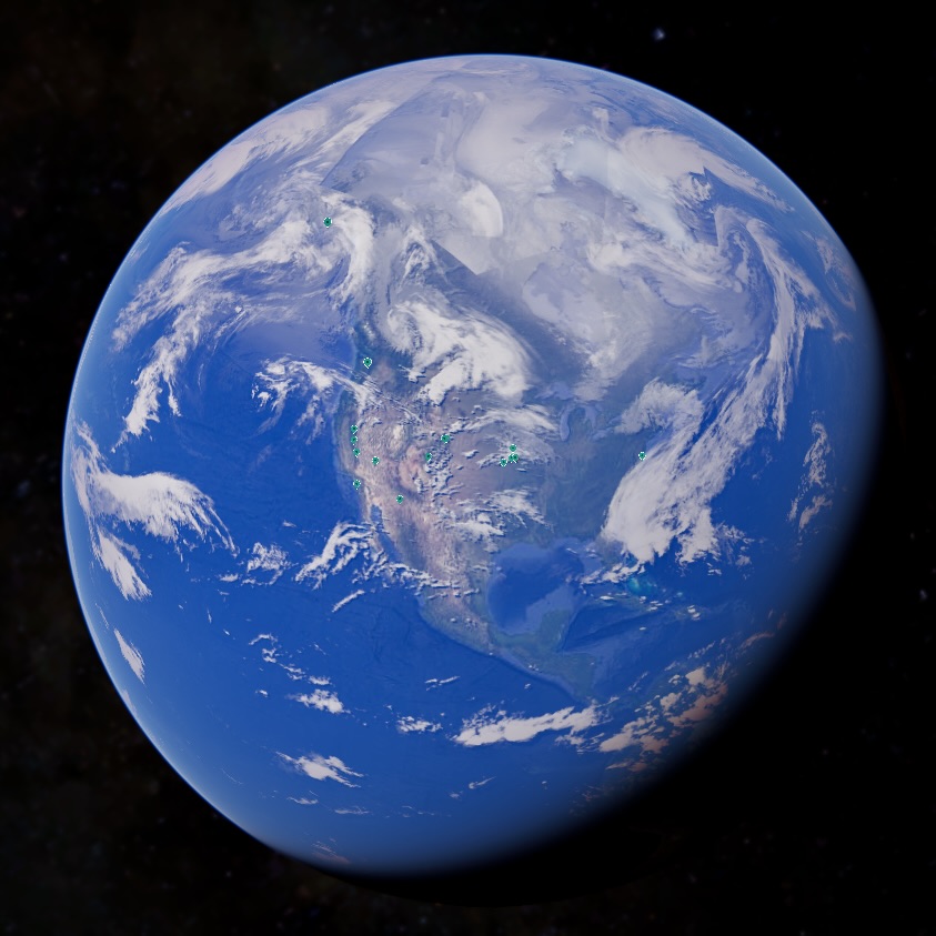
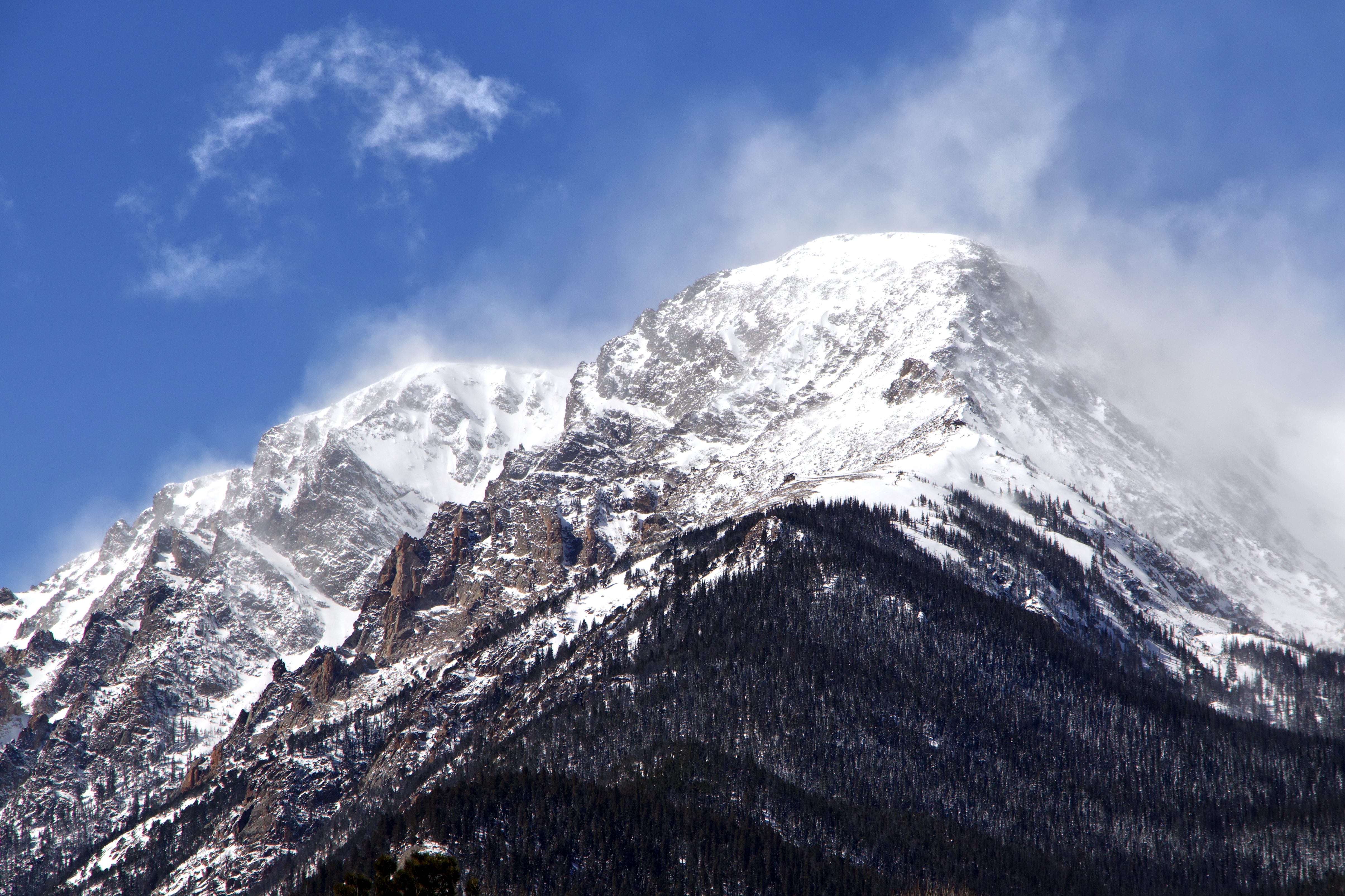
Discover and learn more about the earth's wonders and the fascinating locations that drive the Bay's Creek purpose. This is an ongoing living journey, connecting the thrill of the pursuit of incredible images with the technology that allows an informative way to share the journey.
Pins on the globe include some areas with a photography collection, some with interesting hints, and others showing future areas on the list to explore. Stay in touch for continued additions and new collections!
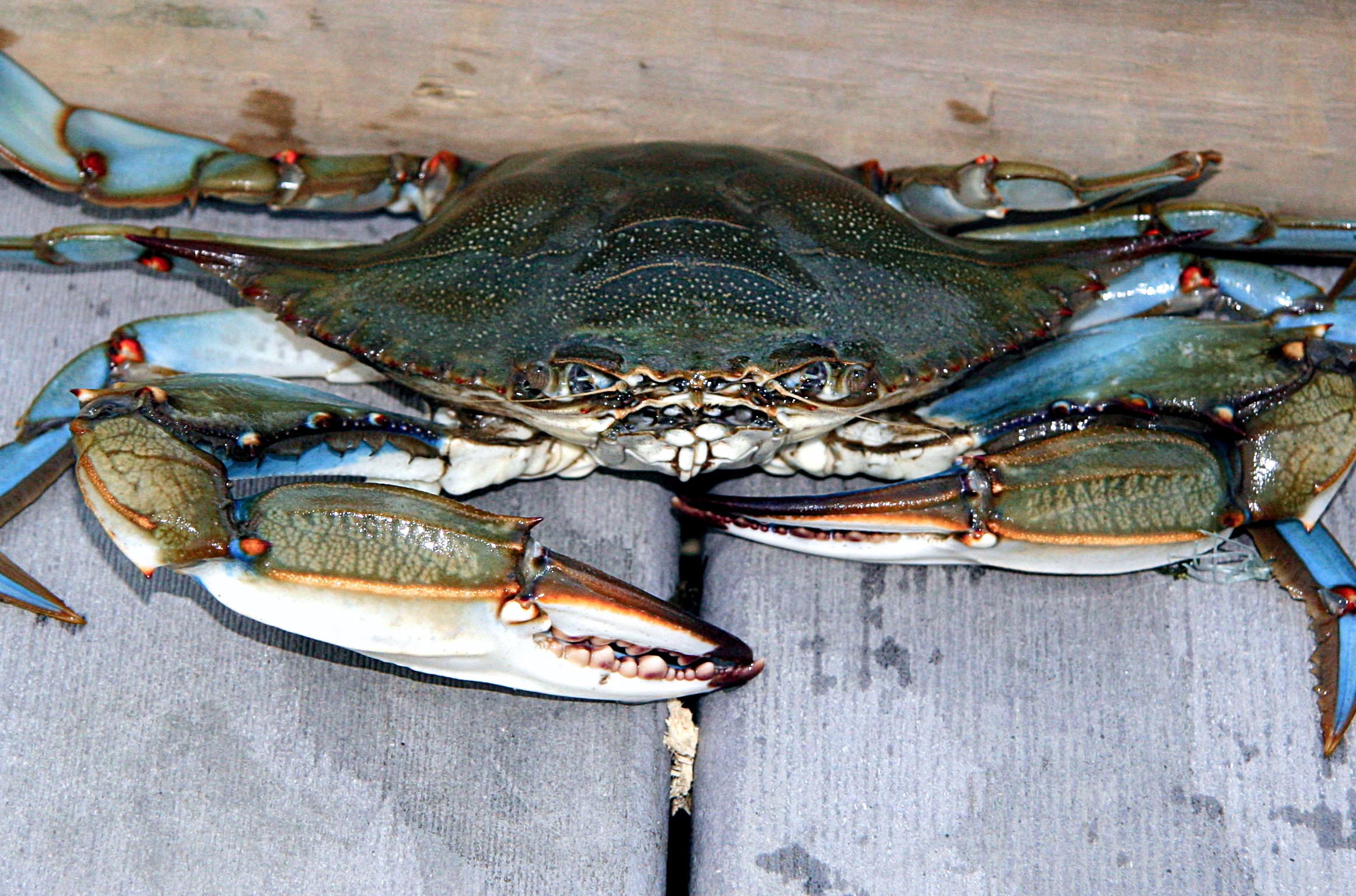
The Chesapeake Bay is the largest estuary in North America — a vast, shallow inland sea where freshwater rivers meet the Atlantic, creating one of the most productive and biologically diverse ecosystems on earth. Spanning nearly 200 miles from Virginia to the Susquehanna headwaters, the Bay supports an extraordinary web of life that shifts dramatically with the seasons.
Spring arrives with the osprey. After wintering in South America, these fish hawks return to the same nesting platforms year after year, their piercing calls announcing the season. By April, blue crabs emerge from their winter dormancy in the deep channel mud, beginning their annual movement into warmer shallows to feed and molt through summer.
As summer closes, Canada geese begin arriving from the north — first in small advance flocks, then in waves — settling into the Bay's cornfields and coves for winter. The osprey quietly disappear south, and the crabs return to the depths, completing a cycle as old as the estuary itself.
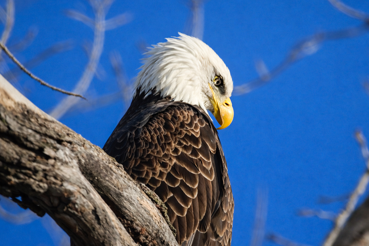
Each winter one of the most accessible and spectacular eagle gatherings in North America happens quietly in northwest Missouri. Bald eagles converge on the Loess Bluffs National Wildlife Refuge — drawn by the open water of the refuge impoundments and the concentration of waterfowl that winter there. At peak season hundreds of eagles may be visible simultaneously — perched in bare cottonwoods lining the dikes, circling overhead, or dropping onto the water after prey. The refuge sits on the Missouri River flyway and the combination of loess bluff topography and managed wetlands creates ideal winter habitat. On the best mornings the trees along the main dike road hold so many eagles that branches bend under the weight.
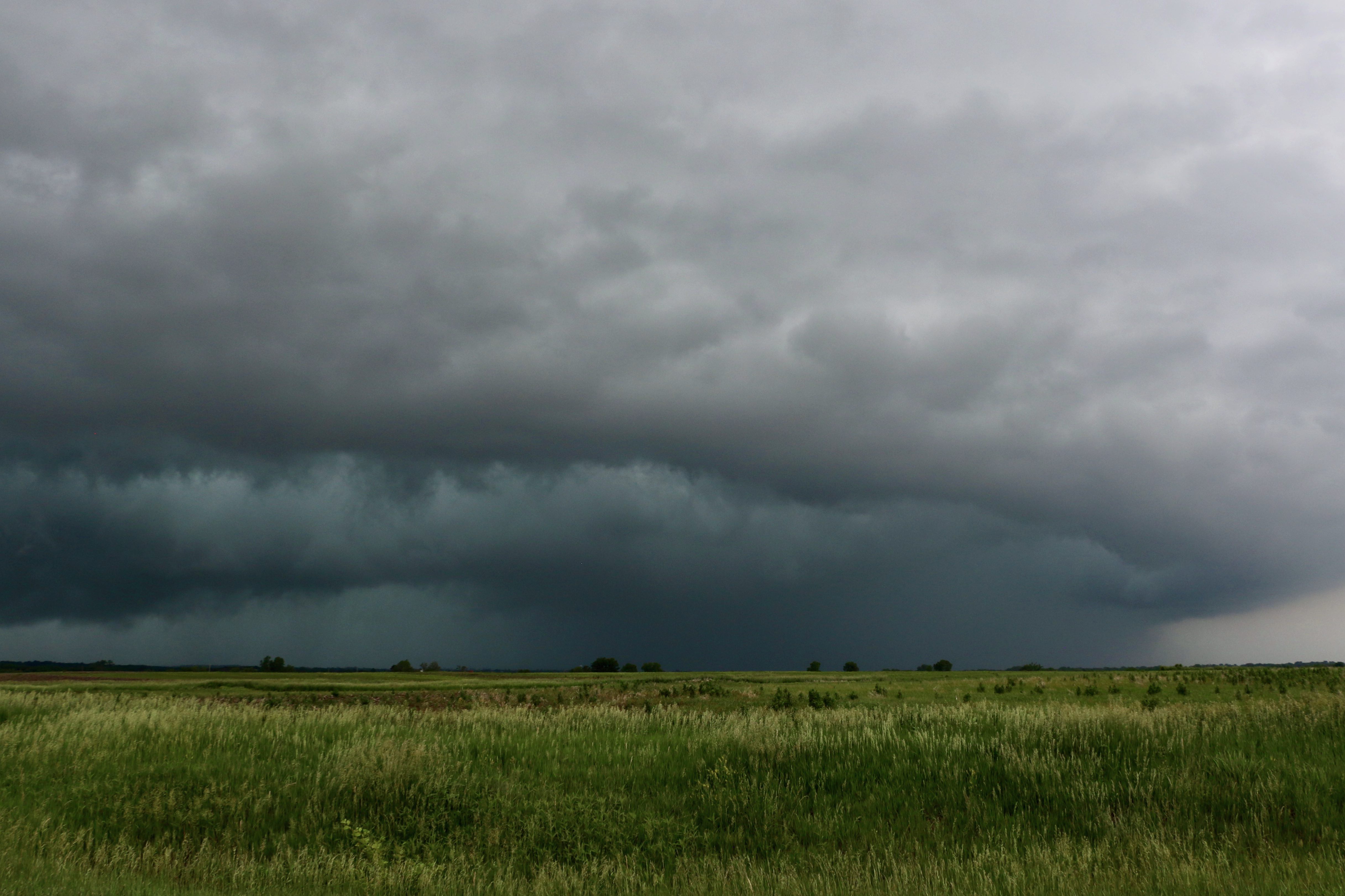
The collision of warm moist air from the Gulf of Mexico, dry air from the Southwest, and cold air from Canada creates the conditions for supercell thunderstorms across the Great Plains each spring. These rotating storm systems are capable of producing the most violent winds on the surface of the earth. The United States experiences more tornadoes than any other country — roughly 1,200 per year with the highest concentration in the central Great Plains. But the storms themselves are the spectacle before any tornado forms — towers of cloud building to 60,000 feet in the late afternoon light, wall clouds rotating beneath them, lightning threading through green-tinged air. The Great Plains in May is one of the most electrically alive place on earth.

In winter Rocky Mountain National Park becomes a different place entirely. The crowds disappear, the high country goes white, and the wildlife that summers above treeline moves down into the valleys. Elk gather in large herds on the snow-covered meadows near Estes Park. Bighorn sheep pick their way across wind-scoured ridges. The tundra above 11,000 feet is locked in ice and silence. Trail Ridge Road — the highest continuous paved road in the United States at 12,183 feet — closes to vehicles but the park stays open. Winter light on fresh snow at altitude is unlike anything at lower elevations.